Where is Brown County, Minnesota?
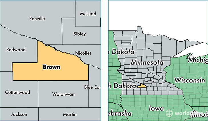
Brown County is a county equivalent area found in Minnesota, USA. The county government of Brown is found in the county seat of New Ulm.
With a total 1,601.32 sq. km of land and water area, Brown County, Minnesota is the 1682nd largest county equivalent area in the United States. Home to 25,292 people, Brown County has a total 11451 households earning 48256 on average per year.
Brown County, Minnesota - Quick Facts
| FIPS Code | 27015 |
| Area Codes | 507 |
| Time Zone | CST |
| Major Cities | New Ulm (population: 16,492), Sleepy Eye (population: 5,352), Springfield (population: 3,122), Hanska (population: 1,046), Comfrey (population: 899) |
| Land Area | 9,765 sq miles |
| Water Area | 611 sq miles |
| Household Income | $48,256 |
| Housing Units | 11,451 |
| Median Home Value | $121,900 |
| High School Grads | 91% of population |
| Holders of Bachelors Degrees | 21% of population |
| Retail Spending | $11,618 per capita |
| Food & Accomodation Sales | $40,488 per capita |
This page was last updated on June 30, 2016.