Where is Blue Earth County, Minnesota?
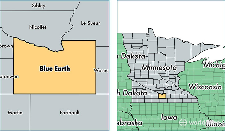
Blue Earth County is a county equivalent area found in Minnesota, USA. The county government of Blue Earth is found in the county seat of Mankato.
With a total 1,982.87 sq. km of land and water area, Blue Earth County, Minnesota is the 1251st largest county equivalent area in the United States. Home to 65,385 people, Blue Earth County has a total 26766 households earning 49935 on average per year.
Blue Earth County, Minnesota - Quick Facts
| FIPS Code | 27013 |
| Area Codes | 507 |
| Time Zone | CST |
| Major Cities | Mankato (population: 47,107), Lake Crystal (population: 3,967), Mapleton (population: 2,891), Eagle Lake (population: 2,805), Madison Lake (population: 2,757), Good Thunder (population: 1,662), Amboy (population: 1,148), Saint Clair (population: 782), Vernon Center (population: 705), Garden City (population: 504) |
| Land Area | 25,245 sq miles |
| Water Area | 748 sq miles |
| Household Income | $49,935 |
| Housing Units | 26,766 |
| Median Home Value | $158,100 |
| High School Grads | 94% of population |
| Holders of Bachelors Degrees | 31% of population |
| Retail Spending | $20,200 per capita |
| Food & Accomodation Sales | $138,977 per capita |
| Universities and Colleges | Minnesota State University-Mankato |
This page was last updated on June 30, 2016.