Where is Kennebec County, Maine?
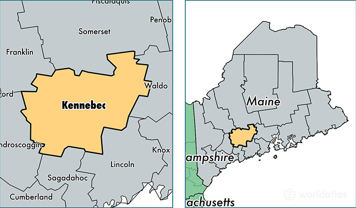
Kennebec County is a county equivalent area found in Maine, USA. The county government of Kennebec is found in the county seat of Augusta.
With a total 2,463.53 sq. km of land and water area, Kennebec County, Maine is the 837th largest county equivalent area in the United States. Home to 121,112 people, Kennebec County has a total 61093 households earning 46808 on average per year.
Kennebec County, Maine - Quick Facts
| FIPS Code | 23011 |
| Area Codes | 207 |
| Time Zone | EST |
| Major Cities | Waterville (population: 26,183), Augusta (population: 26,022), Gardiner (population: 11,617), Oakland (population: 7,220), Fairfield (population: 6,604), Winthrop (population: 6,010), South China (population: 4,265), Vassalboro (population: 4,204), Litchfield (population: 3,568), Clinton (population: 3,477) |
| Land Area | 46,762 sq miles |
| Water Area | 868 sq miles |
| Household Income | $46,808 |
| Housing Units | 61,093 |
| Median Home Value | $152,800 |
| High School Grads | 91% of population |
| Holders of Bachelors Degrees | 25% of population |
| Retail Spending | $19,729 per capita |
| Food & Accomodation Sales | $198,512 per capita |
This page was last updated on June 30, 2016.