Where is Franklin County, Maine?
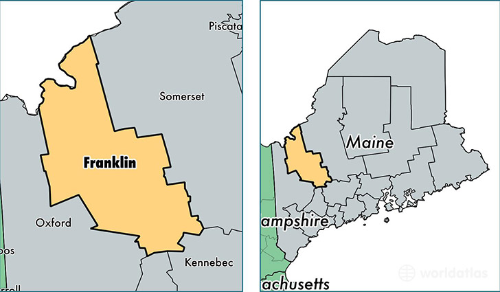
Franklin County is a county equivalent area found in Maine, USA. The county government of Franklin is found in the county seat of Farmington.
With a total 4,516.27 sq. km of land and water area, Franklin County, Maine is the 385th largest county equivalent area in the United States. Home to 30,296 people, Franklin County has a total 21788 households earning 41626 on average per year.
Franklin County, Maine - Quick Facts
| FIPS Code | 23007 |
| Area Codes | 207 |
| Time Zone | EST |
| Major Cities | Farmington (population: 9,824), Jay (population: 4,829), Wilton (population: 3,977), Kingfield (population: 1,843), Strong (population: 1,744), Phillips (population: 1,674), Rangeley (population: 1,612), New Sharon (population: 1,355), New Vineyard (population: 756), Stratton (population: 627) |
| Land Area | 11,697 sq miles |
| Water Area | 1,697 sq miles |
| Household Income | $41,626 |
| Housing Units | 21,788 |
| Median Home Value | $132,400 |
| High School Grads | 92% of population |
| Holders of Bachelors Degrees | 24% of population |
| Retail Spending | $12,807 per capita |
| Food & Accomodation Sales | $43,024 per capita |
This page was last updated on June 30, 2016.