Where is Saint Marys County, Maryland?
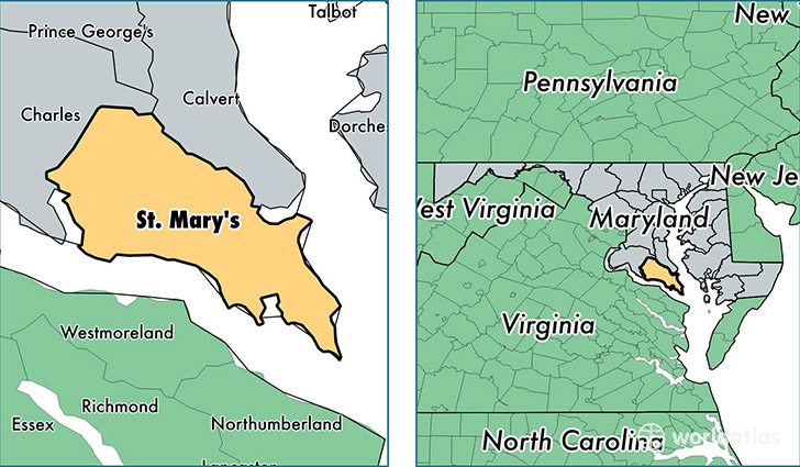
Saint Marys County is a county equivalent area found in Maryland, USA. The county government of Saint Marys is found in the county seat of Leonardtown.
With a total 1,979.4 sq. km of land and water area, Saint Marys County, Maryland is the 1254th largest county equivalent area in the United States. Home to 110,382 people, Saint Marys County has a total 42814 households earning 85672 on average per year.
Saint Marys County, Maryland - Quick Facts
| FIPS Code | 24037 |
| Area Codes | 301 |
| Time Zone | EST |
| Major Cities | Lexington Park (population: 25,374), Mechanicsville (population: 24,351), Leonardtown (population: 14,217), California (population: 10,886), Hollywood (population: 10,299), Great Mills (population: 6,143), Callaway (population: 1,495), Chaptico (population: 1,423), Saint Marys City (population: 1,380), Clements (population: 1,328) |
| Land Area | 42,619 sq miles |
| Water Area | 357 sq miles |
| Household Income | $85,672 |
| Housing Units | 42,814 |
| Median Home Value | $304,700 |
| High School Grads | 90% of population |
| Holders of Bachelors Degrees | 30% of population |
| Retail Spending | $11,883 per capita |
| Food & Accomodation Sales | $132,293 per capita |
| Universities and Colleges | St Mary's College of Maryland |
This page was last updated on June 30, 2016.