Where is Prince Georges County, Maryland?
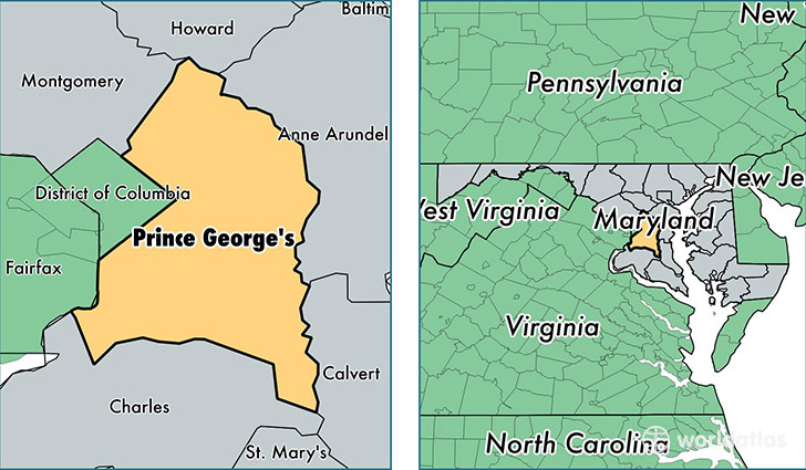
Prince Georges County is a county equivalent area found in Maryland, USA. The county government of Prince Georges is found in the county seat of Upper Marlboro.
With a total 1,291.98 sq. km of land and water area, Prince Georges County, Maryland is the 2187th largest county equivalent area in the United States. Home to 904,430 people, Prince Georges County has a total 329324 households earning 73623 on average per year.
Prince Georges County, Maryland offers the following attractions to visitors: Six Flags America, Anacostia Park, Fort Foote Park, Fort Washington Park, Greenbelt Park, Harmony Hall, Suitland Parkway
Prince Georges is the home to this professional sports team: Redskins (NFL)
Prince Georges County, Maryland - Quick Facts
| FIPS Code | 24033 |
| Area Codes | 301 |
| Time Zone | EST |
| Major Cities | Hyattsville (population: 154,084), Bowie (population: 97,168), Upper Marlboro (population: 87,394), Laurel (population: 58,259), Fort Washington (population: 51,762), District Heights (population: 40,875), Temple Hills (population: 39,588), Lanham (population: 39,485), Capitol Heights (population: 39,413), College Park (population: 37,338) |
| Land Area | 349,202 sq miles |
| Water Area | 483 sq miles |
| Household Income | $73,623 |
| Housing Units | 329,324 |
| Median Home Value | $269,800 |
| High School Grads | 86% of population |
| Holders of Bachelors Degrees | 30% of population |
| Retail Spending | $11,060 per capita |
| Food & Accomodation Sales | $1,205,022 per capita |
| Universities and Colleges | Hair Academy Inc-New Carrollton, University System of Maryland, University System of Maryland Research Centers |