Where is Calvert County, Maryland?
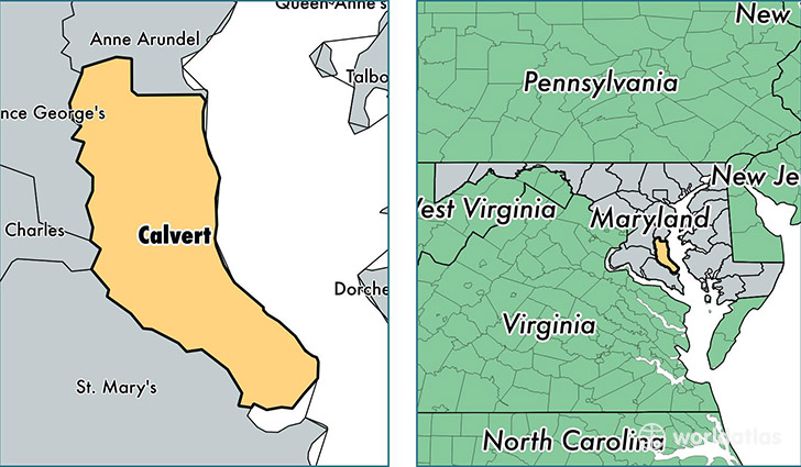
Calvert County is a county equivalent area found in Maryland, USA. The county government of Calvert is found in the county seat of Prince Frederick.
With a total 893.74 sq. km of land and water area, Calvert County, Maryland is the 2745th largest county equivalent area in the United States. Home to 90,613 people, Calvert County has a total 34368 households earning 95477 on average per year.
Calvert County, Maryland - Quick Facts
| FIPS Code | 24009 |
| Area Codes | 410,301 |
| Time Zone | EST |
| Major Cities | Lusby (population: 20,688), Huntingtown (population: 14,369), Prince Frederick (population: 11,155), Chesapeake Beach (population: 10,018), Owings (population: 8,993), Dunkirk (population: 7,034), Saint Leonard (population: 6,535), North Beach (population: 4,401), Port Republic (population: 3,909), Solomons (population: 1,846) |
| Land Area | 34,986 sq miles |
| Water Area | 213 sq miles |
| Household Income | $95,477 |
| Housing Units | 34,368 |
| Median Home Value | $357,000 |
| High School Grads | 93% of population |
| Holders of Bachelors Degrees | 30% of population |
| Retail Spending | $8,291 per capita |
| Food & Accomodation Sales | $110,741 per capita |
This page was last updated on June 30, 2016.