Where is Worcester, MA?
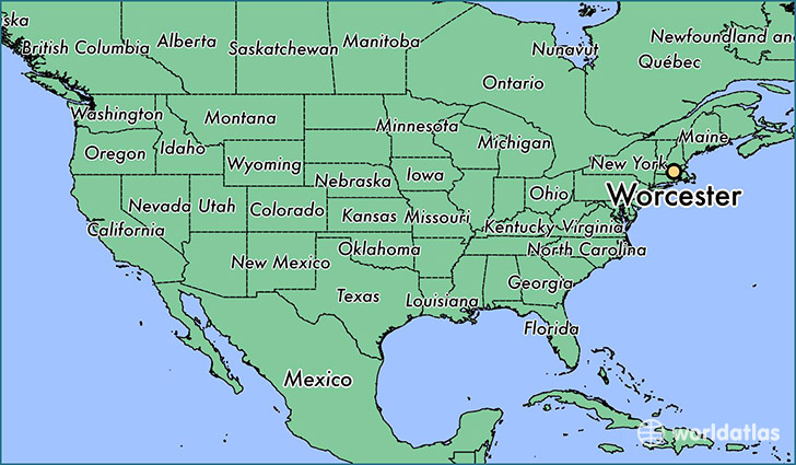
Worcester is a city found in Massachusetts, The United States Of America. It is located 42.26 latitude and -71.80 longitude and it is situated at elevation 164 meters above sea level.
Worcester has a population of 181,045 making it the 3rd biggest city in Massachusetts. It operates on the EDT time zone, which means that it follows the same time zone as Boston.
Quick facts
| Country | The United States Of America |
| State | Massachusetts |
| Population | 181,045 |
| Elevation | 164 m over sea level |
| Time Zone | EDT |
| Longitude | -71.802290 |
| Latitude | 42.262590 |
Worcester has a population of around 183382, of which 88941 (48%) are male and 94441 (51%) are female. The average age of the inhabitants of Worcester is 36.59, meaning that the average person is below the national median age of 37. For every male, there are approximately 1.06 females, meaning that the population is relatively evenly distributed between males and female(s).
Of Worcester's 183382 residents, around 175527 (95.70%) identify as having a single race. The majority of the population is white, which consists of 70.70% of the population. Of the remaining population, 23649 are black/African Americans (12.90%), 529 are native Americans (0.30%), 13148 are asians (7.20%), 78 are pacific islanders (0.00%), 8509 are other (4.60%).
The median income of households in Worcester is $45472.00, meaning that most of the households are above the poverty threshold for families of three. Of the total population, 10.60% of households reported an annual income of less than $10,000.
Worcester, MA Zipcodes
The city of Worcester has 11 zipcodes recognized by the United States Census Bureau: 1545, 1583, 1602, 1603, 1604, 1605, 1606, 1607, 1608, 1609, 1610.