Where is Plymouth County, Massachusetts?
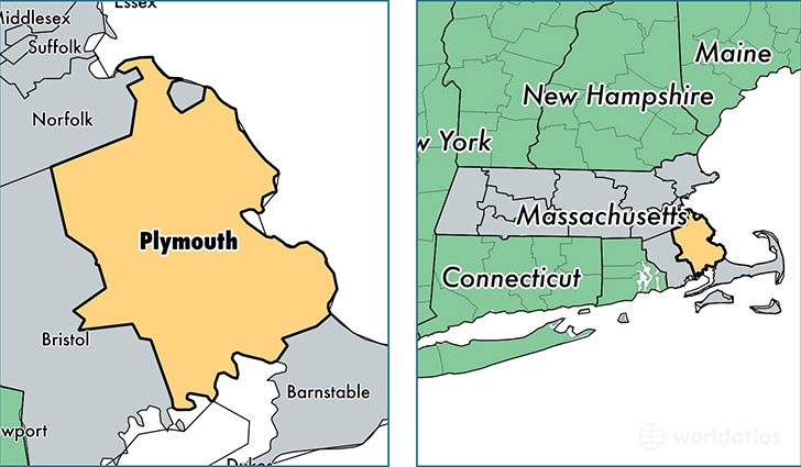
Plymouth County is a county equivalent area found in Massachusetts, USA. The county government of Plymouth is found in the county seat of Brockton.
With a total 2,831.51 sq. km of land and water area, Plymouth County, Massachusetts is the 667th largest county equivalent area in the United States. Home to 507,022 people, Plymouth County has a total 201131 households earning 75092 on average per year.
Plymouth County, Massachusetts - Quick Facts
| FIPS Code | 25023 |
| Area Codes | 781,508 |
| Time Zone | EST |
| Major Cities | Brockton (population: 94,682), Plymouth (population: 56,821), Bridgewater (population: 26,822), Marshfield (population: 25,677), Middleboro (population: 23,331), Hingham (population: 22,373), Pembroke (population: 18,002), Scituate (population: 17,828), Rockland (population: 17,660), Abington (population: 16,185) |
| Land Area | 195,762 sq miles |
| Water Area | 659 sq miles |
| Household Income | $75,092 |
| Housing Units | 201,131 |
| Median Home Value | $332,100 |
| High School Grads | 92% of population |
| Holders of Bachelors Degrees | 34% of population |
| Retail Spending | $13,463 per capita |
| Food & Accomodation Sales | $794,552 per capita |
| Universities and Colleges | La Baron Hairdressing Academy, Ailano School of Cosmetology |
This page was last updated on June 30, 2016.