Where is Berkshire County, Massachusetts?
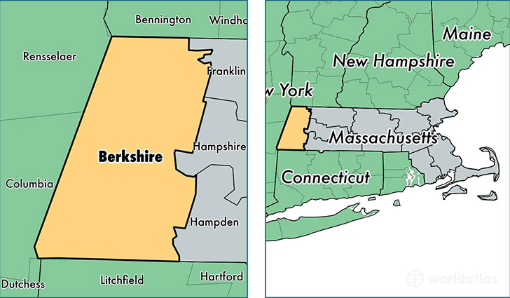
Berkshire County is a county equivalent area found in Massachusetts, USA. The county government of Berkshire is found in the county seat of Pittsfield.
With a total 2,451.24 sq. km of land and water area, Berkshire County, Massachusetts is the 845th largest county equivalent area in the United States. Home to 128,715 people, Berkshire County has a total 68250 households earning 48450 on average per year.
Berkshire County, Massachusetts offers the following attraction to visitors: Clark Art Institute
Berkshire County, Massachusetts - Quick Facts
| FIPS Code | 25003 |
| Area Codes | 413 |
| Time Zone | EST |
| Major Cities | Pittsfield (population: 46,077), North Adams (population: 15,939), Adams (population: 8,524), Great Barrington (population: 8,352), Williamstown (population: 7,915), Dalton (population: 6,881), Lee (population: 5,991), Lenox (population: 4,492), Cheshire (population: 3,088), Hinsdale (population: 2,740) |
| Land Area | 49,697 sq miles |
| Water Area | 927 sq miles |
| Household Income | $48,450 |
| Housing Units | 68,250 |
| Median Home Value | $206,600 |
| High School Grads | 91% of population |
| Holders of Bachelors Degrees | 30% of population |
| Retail Spending | $14,605 per capita |
| Food & Accomodation Sales | $401,912 per capita |
| Universities and Colleges | Bard College at Simon's Rock |
This page was last updated on June 30, 2016.