Where is Tangipahoa Parish, Louisiana?
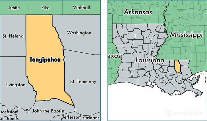
Tangipahoa Parish is a county equivalent area found in Louisiana, USA. The parish government of Tangipahoa is found in the parish seat of Amite.
With a total 2,186.18 sq. km of land and water area, Tangipahoa Parish, Louisiana is the 1092nd largest county equivalent area in the United States. Home to 127,049 people, Tangipahoa Parish has a total 51598 households earning 40654 on average per year.
Tangipahoa Parish, Louisiana - Quick Facts
| FIPS Code | 22105 |
| Area Codes | 985 |
| Time Zone | CST |
| Major Cities | Hammond (population: 48,882), Ponchatoula (population: 25,437), Amite (population: 13,980), Independence (population: 10,440), Kentwood (population: 10,318), Tickfaw (population: 8,681), Loranger (population: 5,990), Roseland (population: 2,905), Robert (population: 1,502), Tangipahoa (population: 791) |
| Land Area | 49,054 sq miles |
| Water Area | 792 sq miles |
| Household Income | $40,654 |
| Housing Units | 51,598 |
| Median Home Value | $135,400 |
| High School Grads | 80% of population |
| Holders of Bachelors Degrees | 19% of population |
| Retail Spending | $15,059 per capita |
| Food & Accomodation Sales | $164,632 per capita |
This page was last updated on June 30, 2016.