Where is Richland Parish, Louisiana?
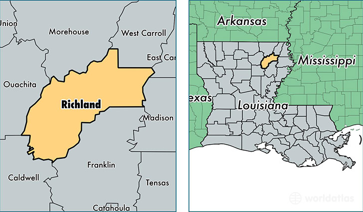
Richland Parish is a county equivalent area found in Louisiana, USA. The parish government of Richland is found in the parish seat of Rayville.
With a total 1,462.09 sq. km of land and water area, Richland Parish, Louisiana is the 1958th largest county equivalent area in the United States. Home to 20,740 people, Richland Parish has a total 8751 households earning 36835 on average per year.
Richland Parish, Louisiana - Quick Facts
| FIPS Code | 22083 |
| Area Codes | 318 |
| Time Zone | CST |
| Major Cities | Rayville (population: 12,877), Delhi (population: 6,625), Mangham (population: 1,713), Archibald (population: 105), Start (population: 45) |
| Land Area | 8,008 sq miles |
| Water Area | 559 sq miles |
| Household Income | $36,835 |
| Housing Units | 8,751 |
| Median Home Value | $76,900 |
| High School Grads | 76% of population |
| Holders of Bachelors Degrees | 13% of population |
| Retail Spending | $11,183 per capita |
| Food & Accomodation Sales | $14,610 per capita |
This page was last updated on June 30, 2016.