Where is Lafayette Parish, Louisiana?
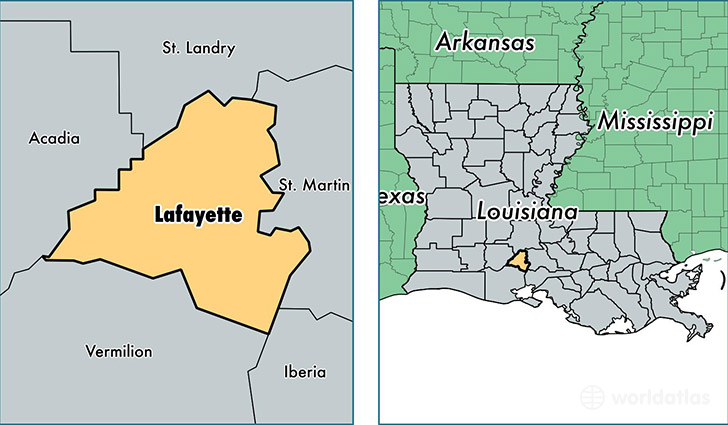
Lafayette Parish is a county equivalent area found in Louisiana, USA. The parish government of Lafayette is found in the parish seat of Lafayette.
With a total 697.25 sq. km of land and water area, Lafayette Parish, Louisiana is the 2902nd largest county equivalent area in the United States. Home to 235,644 people, Lafayette Parish has a total 95876 households earning 51462 on average per year.
Lafayette Parish, Louisiana - Quick Facts
| FIPS Code | 22055 |
| Area Codes | 337 |
| Time Zone | CST |
| Major Cities | Lafayette (population: 155,453), Youngsville (population: 19,322), Carencro (population: 18,853), Broussard (population: 12,567), Duson (population: 12,036), Scott (population: 11,967), Milton (population: 137) |
| Land Area | 90,983 sq miles |
| Water Area | 269 sq miles |
| Household Income | $51,462 |
| Housing Units | 95,876 |
| Median Home Value | $162,500 |
| High School Grads | 86% of population |
| Holders of Bachelors Degrees | 28% of population |
| Retail Spending | $18,588 per capita |
| Food & Accomodation Sales | $584,645 per capita |
This page was last updated on June 30, 2016.