Where is Evangeline Parish, Louisiana?
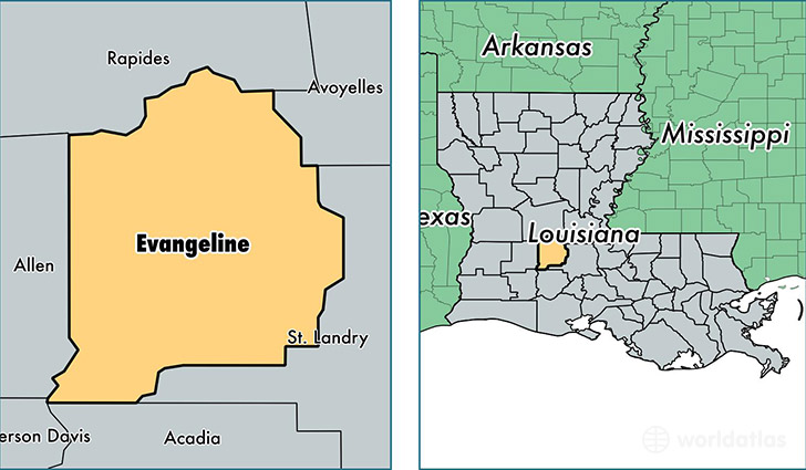
Evangeline Parish is a county equivalent area found in Louisiana, USA. The parish government of Evangeline is found in the parish seat of Ville Platte.
With a total 1,760.22 sq. km of land and water area, Evangeline Parish, Louisiana is the 1496th largest county equivalent area in the United States. Home to 33,700 people, Evangeline Parish has a total 14765 households earning 31832 on average per year.
Evangeline Parish, Louisiana - Quick Facts
| FIPS Code | 22039 |
| Area Codes | 337 |
| Time Zone | CST |
| Major Cities | Ville Platte (population: 20,150), Mamou (population: 5,536), Pine Prairie (population: 1,513), Saint Landry (population: 1,268), Chataignier (population: 311), Turkey Creek (population: 233), Reddell (population: 177) |
| Land Area | 13,012 sq miles |
| Water Area | 663 sq miles |
| Household Income | $31,832 |
| Housing Units | 14,765 |
| Median Home Value | $80,000 |
| High School Grads | 68% of population |
| Holders of Bachelors Degrees | 11% of population |
| Retail Spending | $6,379 per capita |
| Food & Accomodation Sales | $9,263 per capita |
This page was last updated on June 30, 2016.