Where is East Baton Rouge Parish, Louisiana?
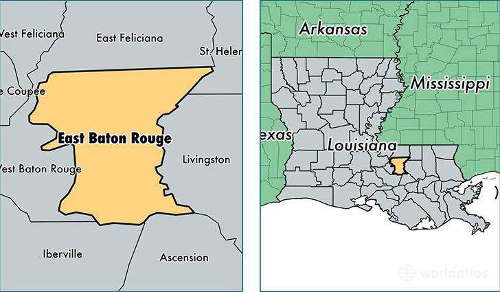
East Baton Rouge Parish is a county equivalent area found in Louisiana, USA. The parish government of East Baton Rouge is found in the parish seat of Baton Rouge.
With a total 1,217.9 sq. km of land and water area, East Baton Rouge Parish, Louisiana is the 2281st largest county equivalent area in the United States. Home to 446,042 people, East Baton Rouge Parish has a total 189849 households earning 48506 on average per year.
East Baton Rouge Parish, Louisiana offers the following attraction to visitors: USS Kidd (DD-661)
East Baton Rouge Parish, Louisiana - Quick Facts
| FIPS Code | 22033 |
| Area Codes | 225 |
| Time Zone | CST |
| Major Cities | Baton Rouge (population: 382,652), Zachary (population: 25,160), Baker (population: 19,998), Greenwell Springs (population: 12,617), Pride (population: 2,951) |
| Land Area | 172,218 sq miles |
| Water Area | 455 sq miles |
| Household Income | $48,506 |
| Housing Units | 189,849 |
| Median Home Value | $166,000 |
| High School Grads | 89% of population |
| Holders of Bachelors Degrees | 34% of population |
| Retail Spending | $16,353 per capita |
| Food & Accomodation Sales | $998,287 per capita |
| Universities and Colleges | Southern University-Board and System, University of Louisiana System Administration, Louisiana Culinary Institute |
This page was last updated on June 30, 2016.