Where is Bossier Parish, Louisiana?
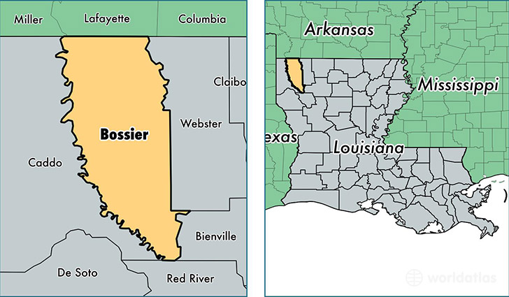
Bossier Parish is a county equivalent area found in Louisiana, USA. The parish government of Bossier is found in the parish seat of Benton.
With a total 2,246.7 sq. km of land and water area, Bossier Parish, Louisiana is the 1043rd largest county equivalent area in the United States. Home to 125,064 people, Bossier Parish has a total 52576 households earning 53248 on average per year.
Bossier Parish, Louisiana - Quick Facts
| FIPS Code | 22015 |
| Area Codes | 318 |
| Time Zone | CST |
| Major Cities | Bossier City (population: 72,927), Haughton (population: 20,187), Benton (population: 12,700), Plain Dealing (population: 4,278), Princeton (population: 3,443), Barksdale AFB (population: 2,917), Elm Grove (population: 2,516) |
| Land Area | 48,287 sq miles |
| Water Area | 840 sq miles |
| Household Income | $53,248 |
| Housing Units | 52,576 |
| Median Home Value | $146,300 |
| High School Grads | 88% of population |
| Holders of Bachelors Degrees | 25% of population |
| Retail Spending | $15,991 per capita |
| Food & Accomodation Sales | $711,717 per capita |
| Universities and Colleges | Pat Goins Benton Road Beauty School, Blue Cliff College-Shreveport |
This page was last updated on June 30, 2016.