Where is Avoyelles Parish, Louisiana?
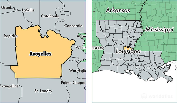
Avoyelles Parish is a county equivalent area found in Louisiana, USA. The parish government of Avoyelles is found in the parish seat of Marksville.
With a total 2,242.22 sq. km of land and water area, Avoyelles Parish, Louisiana is the 1048th largest county equivalent area in the United States. Home to 41,145 people, Avoyelles Parish has a total 18059 households earning 33942 on average per year.
Avoyelles Parish, Louisiana - Quick Facts
| FIPS Code | 22009 |
| Area Codes | 318 |
| Time Zone | CST |
| Major Cities | Marksville (population: 11,383), Bunkie (population: 6,905), Cottonport (population: 5,396), Mansura (population: 4,080), Simmesport (population: 3,188), Hessmer (population: 3,036), Moreauville (population: 2,735), Plaucheville (population: 2,147), Effie (population: 1,025), Center Point (population: 978) |
| Land Area | 15,886 sq miles |
| Water Area | 832 sq miles |
| Household Income | $33,942 |
| Housing Units | 18,059 |
| Median Home Value | $86,600 |
| High School Grads | 70% of population |
| Holders of Bachelors Degrees | 10% of population |
| Retail Spending | $7,367 per capita |
| Food & Accomodation Sales | $174,653 per capita |
This page was last updated on June 30, 2016.