Where is Union County, Kentucky?
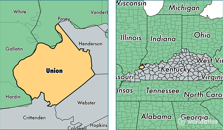
Union County is a county equivalent area found in Kentucky, USA. The county government of Union is found in the county seat of Morganfield.
With a total 941.14 sq. km of land and water area, Union County, Kentucky is the 2699th largest county equivalent area in the United States. Home to 15,165 people, Union County has a total 6155 households earning 39125 on average per year.
Union County, Kentucky - Quick Facts
| FIPS Code | 21225 |
| Area Codes | 270 |
| Time Zone | CST |
| Major Cities | Morganfield (population: 8,237), Sturgis (population: 4,378), Uniontown (population: 1,465), Waverly (population: 1,311) |
| Land Area | 5,855 sq miles |
| Water Area | 343 sq miles |
| Household Income | $39,125 |
| Housing Units | 6,155 |
| Median Home Value | $74,900 |
| High School Grads | 83% of population |
| Holders of Bachelors Degrees | 11% of population |
| Retail Spending | $9,585 per capita |
| Food & Accomodation Sales | $9,845 per capita |
This page was last updated on June 30, 2016.