Where is Perry County, Kentucky?
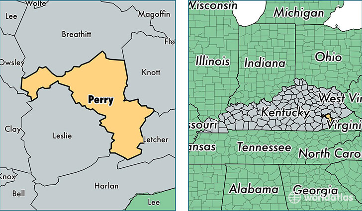
Perry County is a county equivalent area found in Kentucky, USA. The county government of Perry is found in the county seat of Hazard.
With a total 887.35 sq. km of land and water area, Perry County, Kentucky is the 2756th largest county equivalent area in the United States. Home to 27,597 people, Perry County has a total 12704 households earning 33528 on average per year.
Perry County, Kentucky - Quick Facts
| FIPS Code | 21193 |
| Area Codes | 606 |
| Time Zone | EST |
| Major Cities | Hazard (population: 16,973), Viper (population: 2,615), Bulan (population: 1,661), Busy (population: 1,512), Vicco (population: 1,252), Bonnyman (population: 1,025), Cornettsville (population: 1,004), Happy (population: 821), Buckhorn (population: 775), Chavies (population: 629) |
| Land Area | 10,655 sq miles |
| Water Area | 340 sq miles |
| Household Income | $33,528 |
| Housing Units | 12,704 |
| Median Home Value | $65,600 |
| High School Grads | 69% of population |
| Holders of Bachelors Degrees | 14% of population |
| Retail Spending | $15,886 per capita |
| Food & Accomodation Sales | $43,807 per capita |
| Universities and Colleges | Hazard Community and Technical College |
This page was last updated on June 30, 2016.