Where is McCracken County, Kentucky?
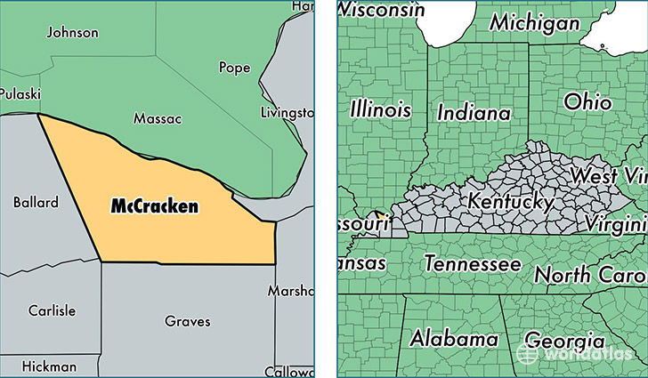
McCracken County is a county equivalent area found in Kentucky, USA. The county government of McCracken is found in the county seat of Paducah.
With a total 694.56 sq. km of land and water area, McCracken County, Kentucky is the 2905th largest county equivalent area in the United States. Home to 65,316 people, McCracken County has a total 31218 households earning 44898 on average per year.
McCracken County, Kentucky - Quick Facts
| FIPS Code | 21145 |
| Area Codes | 270 |
| Time Zone | CST |
| Major Cities | Paducah (population: 57,628), Kevil (population: 4,951), West Paducah (population: 4,035) |
| Land Area | 25,219 sq miles |
| Water Area | 249 sq miles |
| Household Income | $44,898 |
| Housing Units | 31,218 |
| Median Home Value | $117,200 |
| High School Grads | 87% of population |
| Holders of Bachelors Degrees | 23% of population |
| Retail Spending | $24,179 per capita |
| Food & Accomodation Sales | $179,175 per capita |
This page was last updated on June 30, 2016.