Where is Larue County, Kentucky?
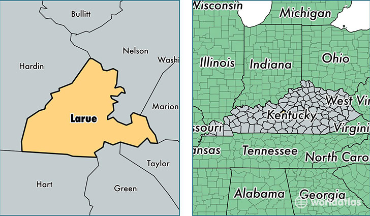
Larue County is a county equivalent area found in Kentucky, USA. The county government of Larue is found in the county seat of Hodgenville.
With a total 682.8 sq. km of land and water area, Larue County, Kentucky is the 2918th largest county equivalent area in the United States. Home to 14,180 people, Larue County has a total 6215 households earning 39753 on average per year.
Larue County, Kentucky offers the following attractions to visitors: Birthplace (Abraham Lincoln), Abraham Lincoln Birthplace NHP
Larue County, Kentucky - Quick Facts
| FIPS Code | 21123 |
| Area Codes | 270 |
| Time Zone | EST |
| Major Cities | Hodgenville (population: 8,680), Magnolia (population: 2,984), Buffalo (population: 1,578) |
| Land Area | 5,475 sq miles |
| Water Area | 261 sq miles |
| Household Income | $39,753 |
| Housing Units | 6,215 |
| Median Home Value | $101,000 |
| High School Grads | 80% of population |
| Holders of Bachelors Degrees | 11% of population |
| Retail Spending | $3,621 per capita |
| Food & Accomodation Sales | $5,861 per capita |
This page was last updated on June 30, 2016.