Where is Jefferson County, Kentucky?
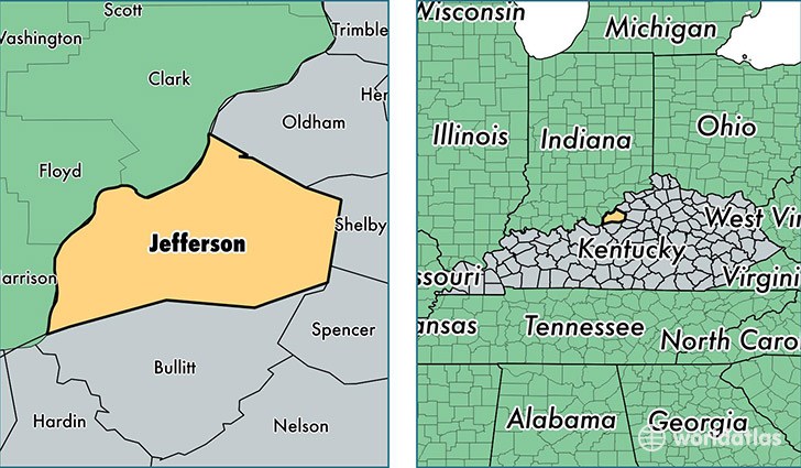
Jefferson County is a county equivalent area found in Kentucky, USA. The county government of Jefferson is found in the county seat of Louisville.
With a total 1,029.99 sq. km of land and water area, Jefferson County, Kentucky is the 2612th largest county equivalent area in the United States. Home to 760,026 people, Jefferson County has a total 339143 households earning 46959 on average per year.
Jefferson County, Kentucky offers the following attraction to visitors: Zachary Taylor National Cemetary (Zachary Taylor)
Jefferson County, Kentucky - Quick Facts
| FIPS Code | 21111 |
| Area Codes | 502 |
| Time Zone | EST |
| Major Cities | Louisville (population: 746,101), Prospect (population: 16,965), Fairdale (population: 9,851), Masonic Home (population: 289), Glenview (population: 59) |
| Land Area | 293,448 sq miles |
| Water Area | 380 sq miles |
| Household Income | $46,959 |
| Housing Units | 339,143 |
| Median Home Value | $149,100 |
| High School Grads | 88% of population |
| Holders of Bachelors Degrees | 30% of population |
| Retail Spending | $14,053 per capita |
| Food & Accomodation Sales | $1,629,185 per capita |
| Universities and Colleges | The Hair Design School-Chenoweth, ITT Technical Institute-Louisville, Bellarmine University |
This page was last updated on June 30, 2016.