Where is Garrard County, Kentucky?
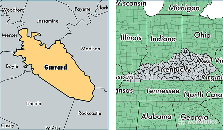
Garrard County is a county equivalent area found in Kentucky, USA. The county government of Garrard is found in the county seat of Lancaster.
With a total 605.92 sq. km of land and water area, Garrard County, Kentucky is the 2972nd largest county equivalent area in the United States. Home to 16,858 people, Garrard County has a total 7432 households earning 44652 on average per year.
Garrard County, Kentucky - Quick Facts
| FIPS Code | 21079 |
| Area Codes | 859 |
| Time Zone | EST |
| Major Cities | Lancaster (population: 14,094), Paint Lick (population: 3,163) |
| Land Area | 6,509 sq miles |
| Water Area | 230 sq miles |
| Household Income | $44,652 |
| Housing Units | 7,432 |
| Median Home Value | $121,400 |
| High School Grads | 81% of population |
| Holders of Bachelors Degrees | 15% of population |
| Retail Spending | $2,331 per capita |
| Food & Accomodation Sales | $4,517 per capita |
This page was last updated on June 30, 2016.