Where is Daviess County, Kentucky?
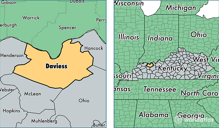
Daviess County is a county equivalent area found in Kentucky, USA. The county government of Daviess is found in the county seat of Owensboro.
With a total 1,234.32 sq. km of land and water area, Daviess County, Kentucky is the 2256th largest county equivalent area in the United States. Home to 98,275 people, Daviess County has a total 41991 households earning 46555 on average per year.
Daviess County, Kentucky - Quick Facts
| FIPS Code | 21059 |
| Area Codes | 270 |
| Time Zone | CST |
| Major Cities | Owensboro (population: 82,350), Philpot (population: 5,935), Utica (population: 5,863), Whitesville (population: 3,377), Maceo (population: 1,874), Maple Mount (population: 84) |
| Land Area | 37,944 sq miles |
| Water Area | 458 sq miles |
| Household Income | $46,555 |
| Housing Units | 41,991 |
| Median Home Value | $110,500 |
| High School Grads | 88% of population |
| Holders of Bachelors Degrees | 19% of population |
| Retail Spending | $13,652 per capita |
| Food & Accomodation Sales | $147,433 per capita |
| Universities and Colleges | Mr Jim's College of Cosmetology |
This page was last updated on June 30, 2016.