Where is Campbell County, Kentucky?
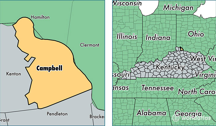
Campbell County is a county equivalent area found in Kentucky, USA. The county government of Campbell is found in the county seat of Alexandria.
With a total 412.9 sq. km of land and water area, Campbell County, Kentucky is the 3068th largest county equivalent area in the United States. Home to 91,833 people, Campbell County has a total 39656 households earning 54306 on average per year.
Campbell County, Kentucky - Quick Facts
| FIPS Code | 21037 |
| Area Codes | 859 |
| Time Zone | EST |
| Major Cities | Newport (population: 38,749), Fort Thomas (population: 16,563), Alexandria (population: 16,515), Bellevue (population: 5,992), Dayton (population: 5,371), California (population: 4,204), Melbourne (population: 2,729), Silver Grove (population: 728) |
| Land Area | 35,457 sq miles |
| Water Area | 151 sq miles |
| Household Income | $54,306 |
| Housing Units | 39,656 |
| Median Home Value | $146,300 |
| High School Grads | 89% of population |
| Holders of Bachelors Degrees | 29% of population |
| Retail Spending | $11,120 per capita |
| Food & Accomodation Sales | $163,252 per capita |
| Universities and Colleges | Northern Kentucky University |
This page was last updated on June 30, 2016.