Where is Kansas City, KS?
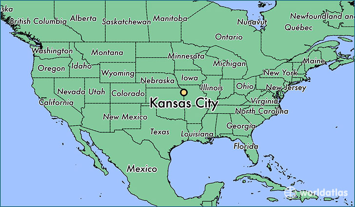
Kansas City is a city found in Kansas, The United States Of America. It is located 39.11 latitude and -94.63 longitude and it is situated at elevation 272 meters above sea level.
Kansas City has a population of 145,786 making it the 3rd biggest city in Kansas. It operates on the CDT time zone, which means that it follows the same time zone as Wichita.
Quick facts
| Country | The United States Of America |
| State | Kansas |
| Population | 145,786 |
| Elevation | 272 m over sea level |
| Time Zone | CDT |
| Longitude | -94.627460 |
| Latitude | 39.114170 |
Kansas-city has a population of around 148855, of which 73605 (49%) are male and 75250 (50%) are female. The average age of the inhabitants of Kansas-city is 34.69, meaning that the average person is below the national median age of 37. For every male, there are approximately 1.02 females, meaning that the population is relatively evenly distributed between males and female(s).
Of Kansas-city's 148855 residents, around 143823 (96.60%) identify as having a single race. The majority of the population is white, which consists of 59.60% of the population. Of the remaining population, 38065 are black/African Americans (25.60%), 1023 are native Americans (0.70%), 5481 are asians (3.70%), 224 are pacific islanders (0.20%), 10258 are other (6.90%).
The median income of households in Kansas-city is $38749.00, meaning that most of the households are above the poverty threshold for families of three. Of the total population, 11.50% of households reported an annual income of less than $10,000.
Kansas City, KS Zipcodes
The city of Kansas City has 13 zipcodes recognized by the United States Census Bureau: 66012, 66101, 66102, 66103, 66104, 66105, 66106, 66109, 66111, 66112, 66115, 66118, 66217.