Where is Wyandotte County, Kansas?
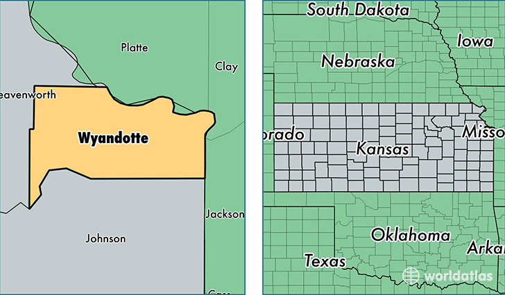
Wyandotte County is a county equivalent area found in Kansas, USA. The county government of Wyandotte is found in the county seat of Kansas City.
With a total 404.54 sq. km of land and water area, Wyandotte County, Kansas is the 3072nd largest county equivalent area in the United States. Home to 161,636 people, Wyandotte County has a total 66831 households earning 39402 on average per year.
Wyandotte County, Kansas - Quick Facts
| FIPS Code | 20209 |
| Area Codes | 913 |
| Time Zone | CST |
| Major Cities | Kansas City (population: 151,770), Bonner Springs (population: 11,362) |
| Land Area | 62,408 sq miles |
| Water Area | 152 sq miles |
| Household Income | $39,402 |
| Housing Units | 66,831 |
| Median Home Value | $93,800 |
| High School Grads | 78% of population |
| Holders of Bachelors Degrees | 16% of population |
| Retail Spending | $11,154 per capita |
| Food & Accomodation Sales | $241,883 per capita |
This page was last updated on June 30, 2016.