Where is Wabaunsee County, Kansas?
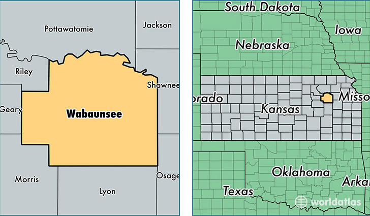
Wabaunsee County is a county equivalent area found in Kansas, USA. The county government of Wabaunsee is found in the county seat of Alma.
With a total 2,071.01 sq. km of land and water area, Wabaunsee County, Kansas is the 1180th largest county equivalent area in the United States. Home to 7,022 people, Wabaunsee County has a total 3233 households earning 54694 on average per year.
Wabaunsee County, Kansas - Quick Facts
| FIPS Code | 20197 |
| Area Codes | 785 |
| Time Zone | CST |
| Major Cities | Alma (population: 1,717), Maple Hill (population: 1,244), Eskridge (population: 983), Alta Vista (population: 854), Paxico (population: 799), Harveyville (population: 670), McFarland (population: 259) |
| Land Area | 2,711 sq miles |
| Water Area | 794 sq miles |
| Household Income | $54,694 |
| Housing Units | 3,233 |
| Median Home Value | $112,200 |
| High School Grads | 95% of population |
| Holders of Bachelors Degrees | 21% of population |
| Retail Spending | $3,920 per capita |
This page was last updated on June 30, 2016.