Where is Stevens County, Kansas?
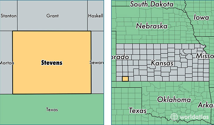
Stevens County is a county equivalent area found in Kansas, USA. The county government of Stevens is found in the county seat of Hugoton.
With a total 1,884.07 sq. km of land and water area, Stevens County, Kansas is the 1330th largest county equivalent area in the United States. Home to 5,801 people, Stevens County has a total 2272 households earning 54494 on average per year.
Stevens County, Kansas - Quick Facts
| FIPS Code | 20189 |
| Area Codes | 620 |
| Time Zone | CST |
| Major Cities | Hugoton (population: 5,008), Moscow (population: 714) |
| Land Area | 2,240 sq miles |
| Water Area | 727 sq miles |
| Household Income | $54,494 |
| Housing Units | 2,272 |
| Median Home Value | $86,200 |
| High School Grads | 81% of population |
| Holders of Bachelors Degrees | 18% of population |
| Retail Spending | $7,989 per capita |
This page was last updated on June 30, 2016.