Where is Pawnee County, Kansas?
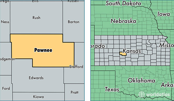
Pawnee County is a county equivalent area found in Kansas, USA. The county government of Pawnee is found in the county seat of Larned.
With a total 1,954.52 sq. km of land and water area, Pawnee County, Kansas is the 1271st largest county equivalent area in the United States. Home to 6,916 people, Pawnee County has a total 3142 households earning 44078 on average per year.
Pawnee County, Kansas offers the following attraction to visitors: Fort Larned NHS
Pawnee County, Kansas - Quick Facts
| FIPS Code | 20145 |
| Area Codes | 620 |
| Time Zone | CST |
| Major Cities | Larned (population: 5,866), Burdett (population: 371), Garfield (population: 362), Rozel (population: 250) |
| Land Area | 2,670 sq miles |
| Water Area | 754 sq miles |
| Household Income | $44,078 |
| Housing Units | 3,142 |
| Median Home Value | $73,700 |
| High School Grads | 90% of population |
| Holders of Bachelors Degrees | 23% of population |
| Retail Spending | $7,574 per capita |
| Food & Accomodation Sales | $5,749 per capita |
This page was last updated on June 30, 2016.