Where is Leavenworth County, Kansas?
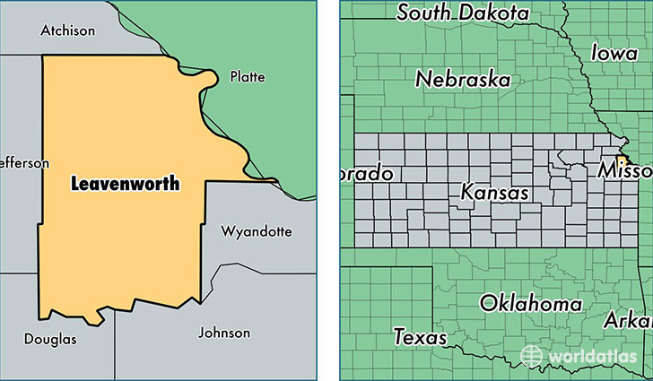
Leavenworth County is a county equivalent area found in Kansas, USA. The county government of Leavenworth is found in the county seat of Leavenworth.
With a total 1,214.63 sq. km of land and water area, Leavenworth County, Kansas is the 2286th largest county equivalent area in the United States. Home to 78,797 people, Leavenworth County has a total 28879 households earning 63435 on average per year.
Leavenworth County, Kansas - Quick Facts
| FIPS Code | 20103 |
| Area Codes | 913 |
| Time Zone | CST |
| Major Cities | Leavenworth (population: 36,178), Lansing (population: 11,000), Tonganoxie (population: 9,951), Fort Leavenworth (population: 5,855), Basehor (population: 5,725), Linwood (population: 2,071), Easton (population: 1,470) |
| Land Area | 30,424 sq miles |
| Water Area | 463 sq miles |
| Household Income | $63,435 |
| Housing Units | 28,879 |
| Median Home Value | $165,800 |
| High School Grads | 92% of population |
| Holders of Bachelors Degrees | 29% of population |
| Retail Spending | $6,697 per capita |
| Food & Accomodation Sales | $48,348 per capita |
| Universities and Colleges | University of Saint Mary |
This page was last updated on June 30, 2016.