Where is Kiowa County, Kansas?
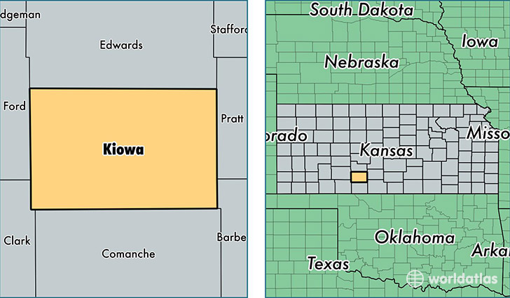
Kiowa County is a county equivalent area found in Kansas, USA. The county government of Kiowa is found in the county seat of Greensburg.
With a total 1,872.22 sq. km of land and water area, Kiowa County, Kansas is the 1350th largest county equivalent area in the United States. Home to 2,513 people, Kiowa County has a total 1225 households earning 44650 on average per year.
Kiowa County, Kansas - Quick Facts
| FIPS Code | 20097 |
| Area Codes | 620 |
| Time Zone | CST |
| Major Cities | Greensburg (population: 1,140), Haviland (population: 1,019), Mullinville (population: 408) |
| Land Area | 970 sq miles |
| Water Area | 723 sq miles |
| Household Income | $44,650 |
| Housing Units | 1,225 |
| Median Home Value | $102,800 |
| High School Grads | 91% of population |
| Holders of Bachelors Degrees | 20% of population |
| Retail Spending | $5,385 per capita |
| Food & Accomodation Sales | $856 per capita |
This page was last updated on June 30, 2016.