Where is Johnson County, Kansas?
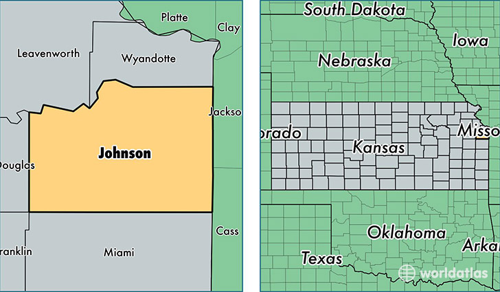
Johnson County is a county equivalent area found in Kansas, USA. The county government of Johnson is found in the county seat of Olathe.
With a total 1,242.93 sq. km of land and water area, Johnson County, Kansas is the 2246th largest county equivalent area in the United States. Home to 574,272 people, Johnson County has a total 229817 households earning 74717 on average per year.
Johnson County, Kansas offers the following attraction to visitors: Mahaffie House
Johnson County, Kansas - Quick Facts
| FIPS Code | 20091 |
| Area Codes | 913 |
| Time Zone | CST |
| Major Cities | Overland Park (population: 174,852), Olathe (population: 133,980), Shawnee (population: 71,480), Lenexa (population: 48,288), Leawood (population: 34,498), Mission (population: 30,238), Gardner (population: 21,567), Prairie Village (population: 21,550), Spring Hill (population: 9,024), Stilwell (population: 8,003) |
| Land Area | 221,728 sq miles |
| Water Area | 473 sq miles |
| Household Income | $74,717 |
| Housing Units | 229,817 |
| Median Home Value | $210,900 |
| High School Grads | 96% of population |
| Holders of Bachelors Degrees | 52% of population |
| Retail Spending | $17,598 per capita |
| Food & Accomodation Sales | $1,082,977 per capita |
| Universities and Colleges | La Baron Hairdressing Academy |
This page was last updated on June 30, 2016.