Where is Jewell County, Kansas?
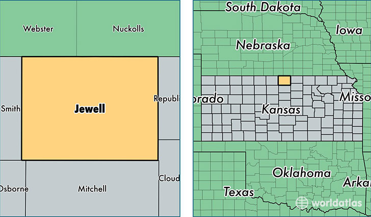
Jewell County is a county equivalent area found in Kansas, USA. The county government of Jewell is found in the county seat of Mankato.
With a total 2,368.18 sq. km of land and water area, Jewell County, Kansas is the 908th largest county equivalent area in the United States. Home to 3,043 people, Jewell County has a total 2022 households earning 39884 on average per year.
Jewell County, Kansas - Quick Facts
| FIPS Code | 20089 |
| Area Codes | 785 |
| Time Zone | CST |
| Major Cities | Mankato (population: 1,145), Jewell (population: 661), Burr Oak (population: 340), Formoso (population: 244), Esbon (population: 239), Randall (population: 133), Webber (population: 96) |
| Land Area | 1,175 sq miles |
| Water Area | 910 sq miles |
| Household Income | $39,884 |
| Housing Units | 2,022 |
| Median Home Value | $56,500 |
| High School Grads | 92% of population |
| Holders of Bachelors Degrees | 15% of population |
| Retail Spending | $4,502 per capita |
| Food & Accomodation Sales | $1,152 per capita |
This page was last updated on June 30, 2016.