Where is Gray County, Kansas?
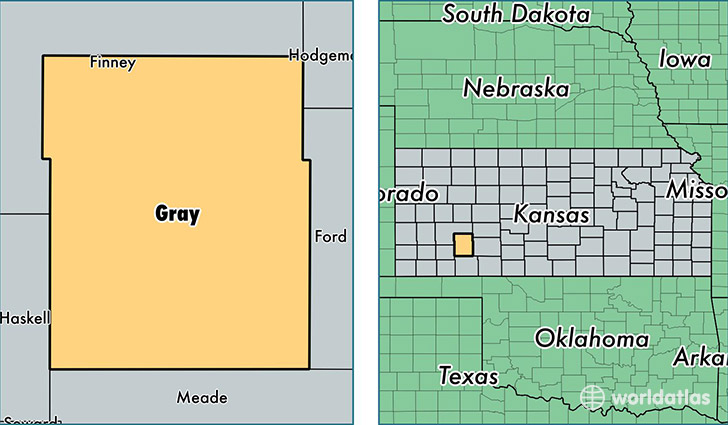
Gray County is a county equivalent area found in Kansas, USA. The county government of Gray is found in the county seat of Cimarron.
With a total 2,251.47 sq. km of land and water area, Gray County, Kansas is the 1039th largest county equivalent area in the United States. Home to 6,082 people, Gray County has a total 2374 households earning 57808 on average per year.
Gray County, Kansas - Quick Facts
| FIPS Code | 20069 |
| Area Codes | 620 |
| Time Zone | CST |
| Major Cities | Cimarron (population: 2,966), Montezuma (population: 1,582), Copeland (population: 903), Ingalls (population: 863), Ensign (population: 341) |
| Land Area | 2,348 sq miles |
| Water Area | 869 sq miles |
| Household Income | $57,808 |
| Housing Units | 2,374 |
| Median Home Value | $105,900 |
| High School Grads | 77% of population |
| Holders of Bachelors Degrees | 20% of population |
| Retail Spending | $6,032 per capita |
| Food & Accomodation Sales | $1,277 per capita |
This page was last updated on June 30, 2016.