Where is Doniphan County, Kansas?
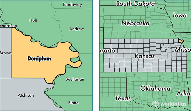
Doniphan County is a county equivalent area found in Kansas, USA. The county government of Doniphan is found in the county seat of Troy.
With a total 1,031.53 sq. km of land and water area, Doniphan County, Kansas is the 2608th largest county equivalent area in the United States. Home to 7,874 people, Doniphan County has a total 3545 households earning 46512 on average per year.
Doniphan County, Kansas - Quick Facts
| FIPS Code | 20043 |
| Area Codes | 785 |
| Time Zone | CST |
| Major Cities | Wathena (population: 2,494), Troy (population: 2,021), Highland (population: 1,297), Elwood (population: 917), White Cloud (population: 411), Denton (population: 300), Bendena (population: 283) |
| Land Area | 3,040 sq miles |
| Water Area | 393 sq miles |
| Household Income | $46,512 |
| Housing Units | 3,545 |
| Median Home Value | $83,300 |
| High School Grads | 90% of population |
| Holders of Bachelors Degrees | 18% of population |
| Retail Spending | $3,241 per capita |
| Food & Accomodation Sales | $1,516 per capita |
This page was last updated on June 30, 2016.