Where is Warrick County, Indiana?
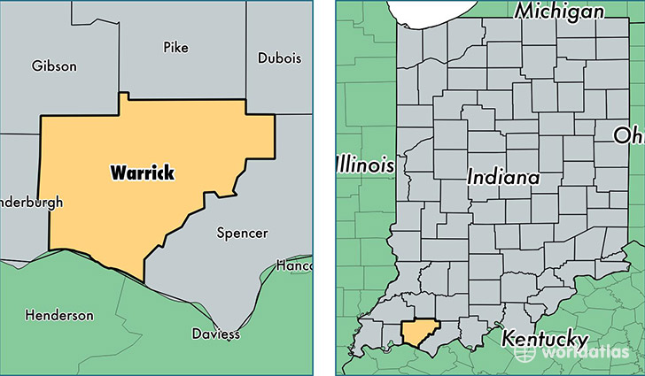
Warrick County is a county equivalent area found in Indiana, USA. The county government of Warrick is found in the county seat of Boonville.
With a total 1,012.82 sq. km of land and water area, Warrick County, Indiana is the 2633rd largest county equivalent area in the United States. Home to 61,149 people, Warrick County has a total 24589 households earning 62351 on average per year.
Warrick County, Indiana - Quick Facts
| FIPS Code | 18173 |
| Area Codes | 812 |
| Time Zone | CST |
| Major Cities | Newburgh (population: 34,869), Boonville (population: 14,073), Chandler (population: 5,262), Elberfeld (population: 2,708), Lynnville (population: 1,715), Tennyson (population: 1,523) |
| Land Area | 23,610 sq miles |
| Water Area | 385 sq miles |
| Household Income | $62,351 |
| Housing Units | 24,589 |
| Median Home Value | $146,300 |
| High School Grads | 92% of population |
| Holders of Bachelors Degrees | 27% of population |
| Retail Spending | $5,794 per capita |
| Food & Accomodation Sales | $36,854 per capita |
This page was last updated on June 30, 2016.