Where is Vigo County, Indiana?
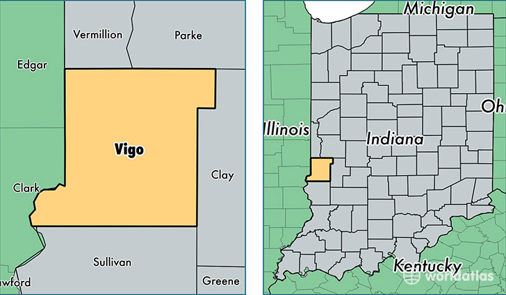
Vigo County is a county equivalent area found in Indiana, USA. The county government of Vigo is found in the county seat of Terre Haute.
With a total 1,063.06 sq. km of land and water area, Vigo County, Indiana is the 2542nd largest county equivalent area in the United States. Home to 108,175 people, Vigo County has a total 46227 households earning 40692 on average per year.
Vigo County, Indiana - Quick Facts
| FIPS Code | 18167 |
| Area Codes | 812,765,317 |
| Time Zone | EST |
| Major Cities | Terre Haute (population: 95,748), West Terre Haute (population: 9,057), Rosedale (population: 3,379), Lewis (population: 695), Saint Mary of the Woods (population: 396), Pimento (population: 348), Riley (population: 221), New Goshen (population: 206), Prairie Creek (population: 137), Shepardsville (population: 67) |
| Land Area | 41,767 sq miles |
| Water Area | 403 sq miles |
| Household Income | $40,692 |
| Housing Units | 46,227 |
| Median Home Value | $91,600 |
| High School Grads | 87% of population |
| Holders of Bachelors Degrees | 21% of population |
| Retail Spending | $15,780 per capita |
| Food & Accomodation Sales | $195,501 per capita |
| Universities and Colleges | J Michael Harrold Beauty Academy, Indiana State University, Rose-Hulman Institute of Technology, Saint Mary-of-the-Woods College |
This page was last updated on June 30, 2016.