Where is Tipton County, Indiana?
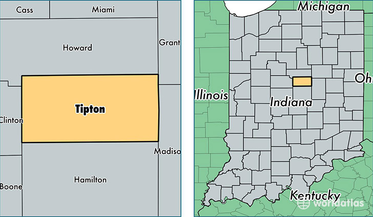
Tipton County is a county equivalent area found in Indiana, USA. The county government of Tipton is found in the county seat of Tipton.
With a total 674.87 sq. km of land and water area, Tipton County, Indiana is the 2923rd largest county equivalent area in the United States. Home to 15,415 people, Tipton County has a total 6947 households earning 52686 on average per year.
Tipton County, Indiana - Quick Facts
| FIPS Code | 18159 |
| Area Codes | 765 |
| Time Zone | EST |
| Major Cities | Tipton (population: 9,182), Sharpsville (population: 2,806), Windfall (population: 1,671), Kempton (population: 837), Goldsmith (population: 91), Hobbs (population: 42) |
| Land Area | 5,952 sq miles |
| Water Area | 261 sq miles |
| Household Income | $52,686 |
| Housing Units | 6,947 |
| Median Home Value | $108,300 |
| High School Grads | 89% of population |
| Holders of Bachelors Degrees | 16% of population |
| Retail Spending | $8,473 per capita |
| Food & Accomodation Sales | $9,837 per capita |
This page was last updated on June 30, 2016.