Where is Tippecanoe County, Indiana?
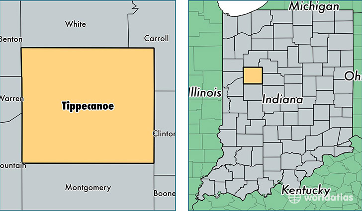
Tippecanoe County is a county equivalent area found in Indiana, USA. The county government of Tippecanoe is found in the county seat of Lafayette.
With a total 1,303.39 sq. km of land and water area, Tippecanoe County, Indiana is the 2168th largest county equivalent area in the United States. Home to 183,074 people, Tippecanoe County has a total 72789 households earning 44246 on average per year.
Tippecanoe County, Indiana - Quick Facts
| FIPS Code | 18157 |
| Area Codes | 765 |
| Time Zone | EST |
| Major Cities | Lafayette (population: 100,762), West Lafayette (population: 68,799), Battle Ground (population: 2,468), Westpoint (population: 1,505), Dayton (population: 1,335), Clarks Hill (population: 1,123), Romney (population: 871), Stockwell (population: 356), Buck Creek (population: 144) |
| Land Area | 70,685 sq miles |
| Water Area | 500 sq miles |
| Household Income | $44,246 |
| Housing Units | 72,789 |
| Median Home Value | $130,900 |
| High School Grads | 91% of population |
| Holders of Bachelors Degrees | 36% of population |
| Retail Spending | $12,769 per capita |
| Food & Accomodation Sales | $315,997 per capita |
| Universities and Colleges | Indiana Business College-Lafayette, Purdue University-Main Campus |
This page was last updated on June 30, 2016.