Where is Starke County, Indiana?
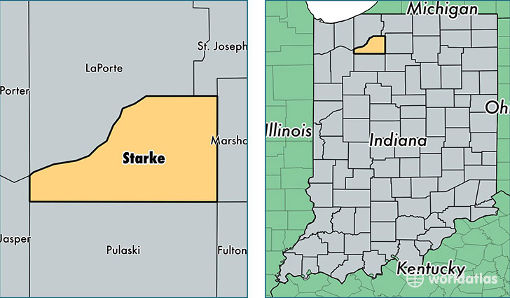
Starke County is a county equivalent area found in Indiana, USA. The county government of Starke is found in the county seat of Knox.
With a total 808.61 sq. km of land and water area, Starke County, Indiana is the 2820th largest county equivalent area in the United States. Home to 23,074 people, Starke County has a total 10949 households earning 40126 on average per year.
Starke County, Indiana - Quick Facts
| FIPS Code | 18149 |
| Area Codes | 574,219 |
| Time Zone | CST |
| Major Cities | Knox (population: 11,190), North Judson (population: 5,751), Hamlet (population: 1,895), Grovertown (population: 1,448), San Pierre (population: 1,005), Ora (population: 72) |
| Land Area | 8,909 sq miles |
| Water Area | 309 sq miles |
| Household Income | $40,126 |
| Housing Units | 10,949 |
| Median Home Value | $96,900 |
| High School Grads | 82% of population |
| Holders of Bachelors Degrees | 12% of population |
| Retail Spending | $6,730 per capita |
This page was last updated on June 30, 2016.