Where is Pulaski County, Indiana?
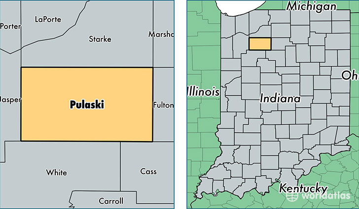
Pulaski County is a county equivalent area found in Indiana, USA. The county government of Pulaski is found in the county seat of Winamac.
With a total 1,125.44 sq. km of land and water area, Pulaski County, Indiana is the 2421st largest county equivalent area in the United States. Home to 12,967 people, Pulaski County has a total 6016 households earning 44764 on average per year.
Pulaski County, Indiana - Quick Facts
| FIPS Code | 18131 |
| Area Codes | 574,219 |
| Time Zone | EST |
| Major Cities | Winamac (population: 6,991), Francesville (population: 2,004), Medaryville (population: 1,857), Star City (population: 1,411), Monterey (population: 1,199) |
| Land Area | 5,007 sq miles |
| Water Area | 434 sq miles |
| Household Income | $44,764 |
| Housing Units | 6,016 |
| Median Home Value | $94,900 |
| High School Grads | 85% of population |
| Holders of Bachelors Degrees | 13% of population |
| Retail Spending | $8,175 per capita |
This page was last updated on June 30, 2016.