Where is Noble County, Indiana?
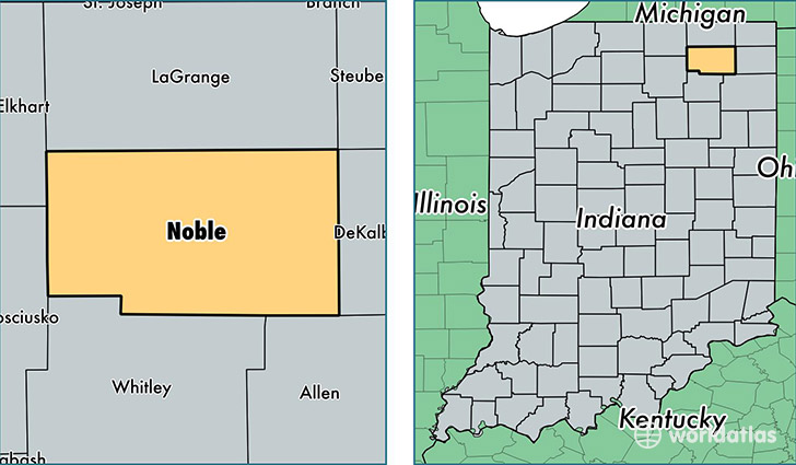
Noble County is a county equivalent area found in Indiana, USA. The county government of Noble is found in the county seat of Albion.
With a total 1,081.15 sq. km of land and water area, Noble County, Indiana is the 2502nd largest county equivalent area in the United States. Home to 47,618 people, Noble County has a total 20081 households earning 47117 on average per year.
Noble County, Indiana - Quick Facts
| FIPS Code | 18113 |
| Area Codes | 260,574 |
| Time Zone | EST |
| Major Cities | Kendallville (population: 15,076), Ligonier (population: 8,575), Albion (population: 7,986), Avilla (population: 4,683), Cromwell (population: 3,174), Rome City (population: 2,238), Laotto (population: 1,632), Wawaka (population: 1,588), Kimmell (population: 1,383) |
| Land Area | 18,385 sq miles |
| Water Area | 411 sq miles |
| Household Income | $47,117 |
| Housing Units | 20,081 |
| Median Home Value | $112,700 |
| High School Grads | 83% of population |
| Holders of Bachelors Degrees | 13% of population |
| Retail Spending | $7,491 per capita |
| Food & Accomodation Sales | $35,884 per capita |
This page was last updated on June 30, 2016.