Where is La Porte County, Indiana?
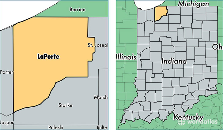
La Porte County is a county equivalent area found in Indiana, USA. The county government of La Porte is found in the county seat of La Porte.
With a total 1,588.33 sq. km of land and water area, La Porte County, Indiana is the 1700th largest county equivalent area in the United States. Home to 111,444 people, La Porte County has a total 48625 households earning 47538 on average per year.
La Porte County, Indiana - Quick Facts
| FIPS Code | 18091 |
| Area Codes | 219,574 |
| Time Zone | CST |
| Major Cities | La Porte (population: 43,563), Michigan City (population: 43,551), Westville (population: 9,726), New Carlisle (population: 6,819), Rolling Prairie (population: 3,591), Wanatah (population: 2,790), Union Mills (population: 2,103), Kingsford Heights (population: 1,420), Hanna (population: 1,065), Mill Creek (population: 1,065) |
| Land Area | 43,029 sq miles |
| Water Area | 598 sq miles |
| Household Income | $47,538 |
| Housing Units | 48,625 |
| Median Home Value | $122,800 |
| High School Grads | 87% of population |
| Holders of Bachelors Degrees | 17% of population |
| Retail Spending | $12,355 per capita |
| Food & Accomodation Sales | $389,663 per capita |
This page was last updated on June 30, 2016.