Where is Knox County, Indiana?
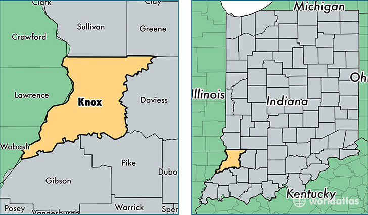
Knox County is a county equivalent area found in Indiana, USA. The county government of Knox is found in the county seat of Vincennes.
With a total 1,357.27 sq. km of land and water area, Knox County, Indiana is the 2091st largest county equivalent area in the United States. Home to 37,938 people, Knox County has a total 16921 households earning 42119 on average per year.
Knox County, Indiana offers the following attraction to visitors: George Rogers Clark NHP
Knox County, Indiana - Quick Facts
| FIPS Code | 18083 |
| Area Codes | 812 |
| Time Zone | EST |
| Major Cities | Vincennes (population: 26,548), Bicknell (population: 3,948), Oaktown (population: 1,574), Monroe City (population: 1,420), Bruceville (population: 1,238), Wheatland (population: 1,014), Sandborn (population: 769), Decker (population: 599), Freelandville (population: 561), Edwardsport (population: 472) |
| Land Area | 14,648 sq miles |
| Water Area | 516 sq miles |
| Household Income | $42,119 |
| Housing Units | 16,921 |
| Median Home Value | $84,100 |
| High School Grads | 86% of population |
| Holders of Bachelors Degrees | 14% of population |
| Retail Spending | $12,463 per capita |
| Food & Accomodation Sales | $56,801 per capita |
| Universities and Colleges | Vincennes Beauty College |
This page was last updated on June 30, 2016.