Where is Henry County, Indiana?
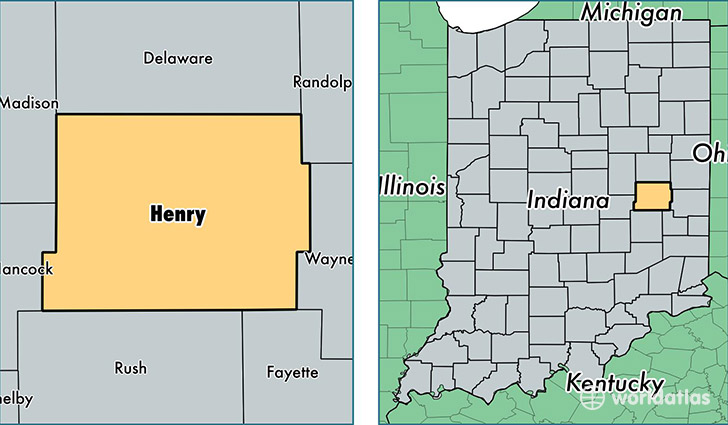
Henry County is a county equivalent area found in Indiana, USA. The county government of Henry is found in the county seat of New Castle.
With a total 1,022.61 sq. km of land and water area, Henry County, Indiana is the 2625th largest county equivalent area in the United States. Home to 48,995 people, Henry County has a total 21101 households earning 40679 on average per year.
Henry County, Indiana - Quick Facts
| FIPS Code | 18065 |
| Area Codes | 765 |
| Time Zone | EST |
| Major Cities | New Castle (population: 30,171), Middletown (population: 5,763), Knightstown (population: 5,077), Shirley (population: 2,009), Spiceland (population: 1,608), Mooreland (population: 1,541), Springport (population: 1,228), Straughn (population: 724), Kennard (population: 469), Sulphur Springs (population: 383) |
| Land Area | 18,917 sq miles |
| Water Area | 392 sq miles |
| Household Income | $40,679 |
| Housing Units | 21,101 |
| Median Home Value | $94,200 |
| High School Grads | 86% of population |
| Holders of Bachelors Degrees | 15% of population |
| Retail Spending | $9,706 per capita |
| Food & Accomodation Sales | $36,185 per capita |
This page was last updated on June 30, 2016.