Where is Hendricks County, Indiana?
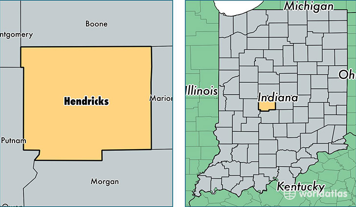
Hendricks County is a county equivalent area found in Indiana, USA. The county government of Hendricks is found in the county seat of Danville.
With a total 1,058.73 sq. km of land and water area, Hendricks County, Indiana is the 2553rd largest county equivalent area in the United States. Home to 156,056 people, Hendricks County has a total 57279 households earning 68297 on average per year.
Hendricks County, Indiana - Quick Facts
| FIPS Code | 18063 |
| Area Codes | 317,765 |
| Time Zone | EST |
| Major Cities | Brownsburg (population: 34,816), Avon (population: 32,842), Plainfield (population: 31,348), Danville (population: 15,173), Pittsboro (population: 6,553), Coatesville (population: 5,329), Clayton (population: 5,184), Lizton (population: 1,954), North Salem (population: 1,549), Amo (population: 164) |
| Land Area | 60,254 sq miles |
| Water Area | 407 sq miles |
| Household Income | $68,297 |
| Housing Units | 57,279 |
| Median Home Value | $159,800 |
| High School Grads | 94% of population |
| Holders of Bachelors Degrees | 32% of population |
| Retail Spending | $15,496 per capita |
| Food & Accomodation Sales | $227,647 per capita |
This page was last updated on June 30, 2016.