Where is Hamilton County, Indiana?
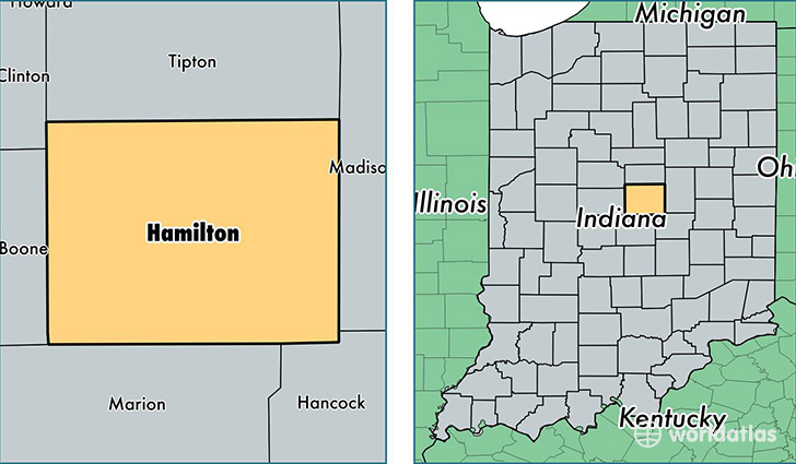
Hamilton County is a county equivalent area found in Indiana, USA. The county government of Hamilton is found in the county seat of Noblesville.
With a total 1,042.31 sq. km of land and water area, Hamilton County, Indiana is the 2594th largest county equivalent area in the United States. Home to 302,623 people, Hamilton County has a total 112671 households earning 82468 on average per year.
Hamilton County, Indiana - Quick Facts
| FIPS Code | 18057 |
| Area Codes | 317,765 |
| Time Zone | EST |
| Major Cities | Carmel (population: 81,314), Fishers (population: 77,615), Noblesville (population: 67,938), Westfield (population: 28,198), Indianapolis (population: 7,341), Cicero (population: 7,095), Sheridan (population: 7,002), Arcadia (population: 3,487), Atlanta (population: 2,253) |
| Land Area | 116,843 sq miles |
| Water Area | 394 sq miles |
| Household Income | $82,468 |
| Housing Units | 112,671 |
| Median Home Value | $215,600 |
| High School Grads | 96% of population |
| Holders of Bachelors Degrees | 55% of population |
| Retail Spending | $12,582 per capita |
| Food & Accomodation Sales | $437,156 per capita |
| Universities and Colleges | Hair Fashions By Kaye Beauty College, Honors Beauty College |
This page was last updated on June 30, 2016.