Where is Dearborn County, Indiana?
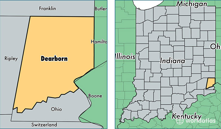
Dearborn County is a county equivalent area found in Indiana, USA. The county government of Dearborn is found in the county seat of Lawrenceburg.
With a total 796.2 sq. km of land and water area, Dearborn County, Indiana is the 2833rd largest county equivalent area in the United States. Home to 49,506 people, Dearborn County has a total 20147 households earning 56946 on average per year.
Dearborn County, Indiana - Quick Facts
| FIPS Code | 18029 |
| Area Codes | 812 |
| Time Zone | EST |
| Major Cities | Lawrenceburg (population: 22,833), Aurora (population: 10,374), West Harrison (population: 6,418), Dillsboro (population: 4,251), Guilford (population: 3,343), Moores Hill (population: 3,274) |
| Land Area | 19,114 sq miles |
| Water Area | 305 sq miles |
| Household Income | $56,946 |
| Housing Units | 20,147 |
| Median Home Value | $160,400 |
| High School Grads | 89% of population |
| Holders of Bachelors Degrees | 18% of population |
| Retail Spending | $10,256 per capita |
This page was last updated on June 30, 2016.