Where is Daviess County, Indiana?
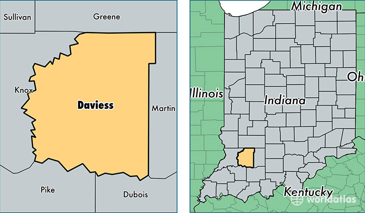
Daviess County is a county equivalent area found in Indiana, USA. The county government of Daviess is found in the county seat of Washington.
With a total 1,131.5 sq. km of land and water area, Daviess County, Indiana is the 2402nd largest county equivalent area in the United States. Home to 32,729 people, Daviess County has a total 12435 households earning 47165 on average per year.
Daviess County, Indiana - Quick Facts
| FIPS Code | 18027 |
| Area Codes | 812 |
| Time Zone | EST |
| Major Cities | Washington (population: 17,765), Odon (population: 4,718), Montgomery (population: 4,463), Elnora (population: 1,055), Plainville (population: 844), Cannelburg (population: 519) |
| Land Area | 12,637 sq miles |
| Water Area | 429 sq miles |
| Household Income | $47,165 |
| Housing Units | 12,435 |
| Median Home Value | $105,500 |
| High School Grads | 78% of population |
| Holders of Bachelors Degrees | 12% of population |
| Retail Spending | $12,667 per capita |
| Food & Accomodation Sales | $25,851 per capita |
This page was last updated on June 30, 2016.